Yes there is more than one Fire Island Ferry! Please read this to understand which one is right for you.
For Fire Island Ferry Schedules visit here.
If you have an iPhone there is a great Fire Island Ferry App that is Free and has Ferry Schedules for all of Fire Island.
Fire Island ferries run from a number of mainland locations to various communities on Fire Island. Although, there is a bridge connecting Fire Island to the mainland local laws restrict the use of cars on the Island. Therefore, the only way to access Fire Island is by private boat, water taxi or the most common and affordable option one of three Fire Island Ferry Services.
Ferry companies that service Fire Island.
Fire Island Ferries Inc.
The largest of the Fire Island Ferry companies. Fire Island Ferries Inc, services Ocean Beach, Fair Harbor, Dunewood, Atlantique, Seaview, Ocean Bay Park, Saltaire, and Kismet.
Terminal:
99 Maple Ave
Bay Shore, NY 11706
Phone: 631-665-3600
Sayville Ferry Service
Serving Gay Fire Island
Located in the town of Sayville Long Island, this ferry service caters to the popular gay travel destinations of Cherry Grove, and the Fire Island Pines. It also services the Fire Island national seashore park, at Sailors Haven as well as the small community of Water Island.
Phone: 631-589-0810
Terminal:
41 River Road
Sayville, NY 11782-0626
Davis Park Ferry Co.
Transportation from Patchogue, Long Island to Davis Park and Watch Hill. Davis Park is a small family community of 250 houses. It is open to the public with a life guarded beach, public restrooms, store, snack bar, and an oceanfront bar and restaurant. Watch Hill is home to Fire Island most popular camp ground and marina.
The Davis Park Ferry Co, has been in operation since 1947 and continues to be family owned and operated.
Davis Park Ferry Co., Inc.
Terminal:
80 Brightwood Street
Patchogue, NY 11772
Phone: 631-475-1665


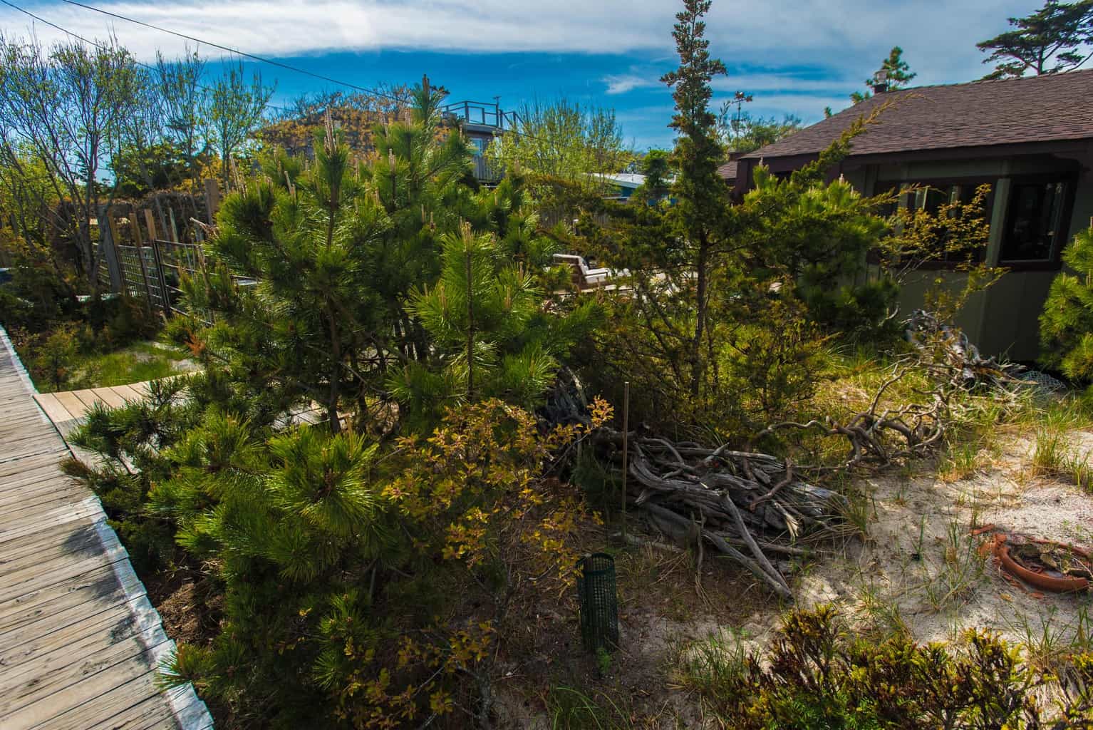 Walking through “meat rack” From Fire Island Pines to Cherry Grove on Fire Island
 Walking through “meat rack” From Fire Island Pines to Cherry Grove on Fire Island
 Walking through “meat rack” From Fire Island Pines to Cherry Grove on Fire Island
 Walking through “meat rack” From Fire Island Pines to Cherry Grove on Fire Island
 Walking through “meat rack” From Fire Island Pines to Cherry Grove on Fire Island
 Walking through “meat rack” From Fire Island Pines to Cherry Grove on Fire Island
 Walking through “meat rack” From Fire Island Pines to Cherry Grove on Fire Island
 Walking through “meat rack” From Fire Island Pines to Cherry Grove on Fire Island
 Walking through “meat rack” From Fire Island Pines to Cherry Grove on Fire Island
 Walking through “meat rack” From Fire Island Pines to Cherry Grove on Fire Island
 Walking through “meat rack” From Fire Island Pines to Cherry Grove on Fire Island